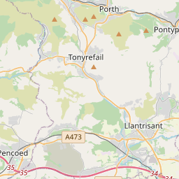
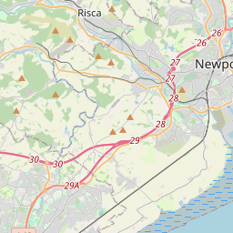

Current traffic around Tonyrefail
The following traffic incidents and congestion for Tonyrefail have been reported by Highways England, Traffic Scotland, Traffic Wales or Transport for London (TfL) in the last two hours:
NANTGARW Description: A470NorthboundNantgarwCongestionoffslipDelay: s possible :, Start time: 16/05/2025 7:48 , Expected end time: 16/05/2025 9:48, Severity: Moderate, Source: Welsh Government, Last updated: 16/05/2025 7:48
Nearest town: 7.02 miles from Tonyrefail. CLEARED @ 07:54NANTGARW TO CORYTON Description: A470SouthboundNantgarw to CorytonCongestionDelay: s possible :, Start time: 16/05/2025 7:16 , Expected end time: 16/05/2025 9:16, Severity: Moderate, Source: Welsh Government, Last updated: 16/05/2025 7:16
Nearest town: 7.71 miles from Tonyrefail. CLEARED @ 07:30J33 CAPEL LLANILLTERN Description: M4EastboundJ33 (Cardiff) Capel LlanillternCongestionoffslipDelay: s possible :, Start time: 16/05/2025 7:19 , Expected end time: 16/05/2025 11:18, Severity: Moderate, Source: Welsh Government, Last updated: 16/05/2025 7:19
Nearest town: 7.38 miles from Tonyrefail. CLEARED @ 07:30ST FAGANS TO M4 J33 CAPEL LLANILLTERN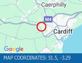 Description: A4232NorthboundSt Fagans to M4 J33 Capel LlanillternCongestionDelay: s possible :, Start time: 16/05/2025 7:19 , Expected end time: 16/05/2025 9:19, Severity: Moderate, Source: Welsh Government, Last updated: 16/05/2025 7:19
Nearest town: 8.36 miles from Tonyrefail. CLEARED @ 07:30WENALLT ROAD OVERBRIDGE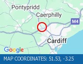 Description: M4Both directionsWenallt Road OverbridgeRoad closedStructural inspectionsDiversions in place19/05/25-20/05/25 2000-0500 :, Start time: 19/05/2025 20:00 , End Date: 20/05/2025 5:00, Severity: Road closure, Source: Welsh Government, Last updated: 15/05/2025 7:40
Nearest town: 8.83 miles from Tonyrefail. CLEARED @ 08:06
Nearest town: 7.02 miles from Tonyrefail. CLEARED @ 07:54
Nearest town: 7.71 miles from Tonyrefail. CLEARED @ 07:30
Nearest town: 7.38 miles from Tonyrefail. CLEARED @ 07:30
Nearest town: 8.36 miles from Tonyrefail. CLEARED @ 07:30
Nearest town: 8.83 miles from Tonyrefail. CLEARED @ 08:06
There are no current incidents in this location.


 National Highways England
 Transport for London (TFL)
 Traffic Wales
 Traffic Scotland
 YOUR AD HERE