


Current traffic around Tonypandy
The following traffic incidents and congestion for Tonypandy have been reported by Highways England, Traffic Scotland, Traffic Wales or Transport for London (TfL) in the last two hours:
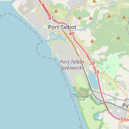
BRITON FERRY TO A483 JUNCTION Description: A48WestboundBriton Ferry to A483 JunctionCarriageway maintenanceBridge closedDiversions in place13/05/25-17/06/25 2000-0600 :, Start time: 13/05/2025 20:00 , End Date: 17/06/2025 6:00, Severity: Road closure, Source: Welsh Government, Last updated: 13/05/2025 20:00
Nearest town: 15.8 miles from Tonypandy. CLEARED @ 20:42
Nearest town: 15.8 miles from Tonypandy. CLEARED @ 20:42
There are no current incidents in this location.


 National Highways England
 Transport for London (TFL)
 Traffic Wales
 Traffic Scotland
 YOUR AD HERE