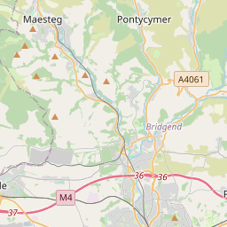

Current traffic around Pencoed
The following traffic incidents and congestion for Pencoed have been reported by Highways England, Traffic Scotland, Traffic Wales or Transport for London (TfL) in the last two hours:
PONTYPRIDD TO ABERCYNON Description: A470Both directionsPontypridd to AbercynonRoad closedCarriageway maintenanceDiversions in place28/04/25-01/05/25 2000-0600 :, Start time: 28/04/2025 20:00 , End Date: 01/05/2025 6:00, Severity: Road closure, Source: Welsh Government, Last updated: 14/04/2025 13:23
Nearest town: 10.95 miles from Pencoed. CLEARED @ 01:18J30 CARDIFF GATE TO J49 PONT ABRAHAM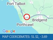 Description: M4Both directionsJ30 (Cardiff) Cardiff Gate to J49 Pont AbrahamPoor driving conditions :, Start time: 22/04/2025 23:50 , Expected end time: 23/04/2025 5:50, Severity: Slight, Source: Welsh Government, Last updated: 22/04/2025 23:50
Nearest town: 7.47 miles from Pencoed. CLEARED @ 00:06
Nearest town: 10.95 miles from Pencoed. CLEARED @ 01:18
Nearest town: 7.47 miles from Pencoed. CLEARED @ 00:06
There are no current incidents in this location.


 National Highways England
 Transport for London (TFL)
 Traffic Wales
 Traffic Scotland
 YOUR AD HERE