Description: M4 : Eastbound : J24 (Newport) Coldra : Construction work : Entry slip road closed : Diversions in place : 28/04/25-30/04/25 2000-0100 :, Start time: 28/04/2025 20:00 , End Date: 30/04/2025 1:00, Severity: Road closure, Source: Welsh Government, Last updated: 26/04/2025 8:00
Nearest town: 9.16 miles from Pantygasseg.
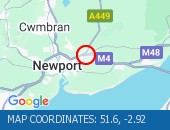
Description: M4 : Westbound : J25A (Newport) Grove Park to J28 (Newport) Tredegar Park : Resurfacing work : Road closed : Diversions in place : 02/05/25-03/05/25 2000-0600 :, Start time: 02/05/2025 20:00 , End Date: 03/05/2025 6:00, Severity: Road closure, Source: Welsh Government, Last updated: 26/04/2025 8:02
Nearest town: 6.84 miles from Pantygasseg.
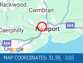
Description: A4042 : Both directions : New Inn to A472 Interchange : Clearance work : Road closed : Diversions in place : 30/04/25-05/05/25 2000-0600 :, Start time: 30/04/2025 20:00 , End Date: 05/05/2025 6:00, Severity: Road closure, Source: Welsh Government, Last updated: 26/04/2025 7:50
Nearest town: 3.23 miles from Pantygasseg.
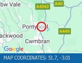
Description: A465 : Both directions : Cefn Coed to Hirwaun : Improvement work : Road closed : Diversions in place : 28/04/25-29/04/25 2000-0600 :, Start time: 28/04/2025 20:00 , End Date: 29/04/2025 6:00, Severity: Road closure, Source: Welsh Government, Last updated: 26/04/2025 7:53
Nearest town: 16.64 miles from Pantygasseg.
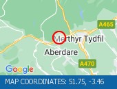
Description: A465 : Both directions : Cefn Coed to Dowlais Top : Improvement work : Road closed : Diversions in place : 29/04/25-30/04/25 2000-0600 :, Start time: 29/04/2025 20:00 , End Date: 30/04/2025 6:00, Severity: Road closure, Source: Welsh Government, Last updated: 26/04/2025 7:54
Nearest town: 13.61 miles from Pantygasseg.
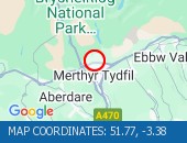
Description: A470 : Southbound : Abercynon to Pontypridd : Resurfacing work : Road closed : Diversions in place : 28/04/25-01/05/25 2000-0600 :, Start time: 28/04/2025 20:00 , End Date: 01/05/2025 6:00, Severity: Road closure, Source: Welsh Government, Last updated: 26/04/2025 7:56
Nearest town: 10.98 miles from Pantygasseg.

Description: A470 : Northbound : Abercynon to Pentrebach : Carriageway maintenance : Road closed : Diversions in place : 28/04/25-01/05/25 2000-0600 :, Start time: 28/04/2025 20:00 , End Date: 01/05/2025 6:00, Severity: Road closure, Source: Welsh Government, Last updated: 26/04/2025 7:58
Nearest town: 10.97 miles from Pantygasseg.
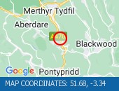
Description: A40 : Both directions : Abergavenny Hardwick R/bout : Resurfacing work : Road closed : at roundabout Diversions in place : 23/04/25-29/04/25 2000-0600 :, Start time: 23/04/2025 20:00 , End Date: 29/04/2025 6:00, Severity: Road closure, Source: Welsh Government, Last updated: 26/04/2025 7:41
Nearest town: 9.28 miles from Pantygasseg.
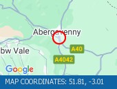
Location: eastbound between junctions J23 (Chepstow) and J22 (Avonmouth) .
Lane Closures : Lanes 1, 2 and 3 will be closed.
Due to: Roadworks are planned.
Status : Pending.
Schedule : Expect disruption everyday between 21:00 and 06:00 from 1 May 2025 to 3 May 2025.
Lanes Closed : All lanes will be closed.
Nearest town: 16.32 miles from Pantygasseg.
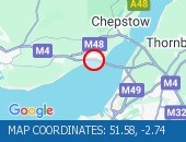
Location: westbound entry slip at junction J22 (Avonmouth) .
Due to: Roadworks are planned.
Status : Pending.
Schedule : Expect disruption everyday between 21:00 and 06:00 from 27 April 2025 to 1 May 2025.
Schedule : From 22:00 on 1 May 2025 to 06:00 on 2 May 2025.
Lanes Closed : All lanes will be closed.
Nearest town: 19.98 miles from Pantygasseg.




 National Highways England
 Transport for London (TFL)
 Traffic Wales
 Traffic Scotland
 YOUR AD HERE