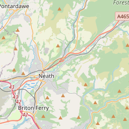
Current traffic around Cerrig Llwydion
The following traffic incidents and congestion for Cerrig Llwydion have been reported by Highways England, Traffic Scotland, Traffic Wales or Transport for London (TfL) in the last two hours:
WESTBOUNDDescription: A465Now clearWestboundNeath to Llandarcy, Start time: 13/05/2025 9:11 , Expected end time: 13/05/2025 9:16, Severity: Moderate, Source: Welsh Government, Last updated: 13/05/2025 9:11
Nearest town: 3.5 miles from Cerrig Llwydion.
CLEARED @ 09:42 NEATH TO LLANDARCYDescription: A465WestboundNeath to LlandarcyCongestion
Delay: s possible :, Start time: 13/05/2025 7:41 , Expected end time: 13/05/2025 9:40, Severity: Moderate, Source: Welsh Government, Last updated: 13/05/2025 7:41
Nearest town: 3.5 miles from Cerrig Llwydion.
CLEARED @ 07:54 J44 LON LAS TO J43 LLANDARCYDescription: M4EastboundJ44 (Swansea) Lon Las to J43 (Neath) LlandarcyCongestion
Delay: s possible :, Start time: 13/05/2025 7:21 , Expected end time: 13/05/2025 9:40, Severity: Moderate, Source: Welsh Government, Last updated: 13/05/2025 7:21
Nearest town: 4.64 miles from Cerrig Llwydion.
CLEARED @ 07:30 TUA'R DWYRAINDisgrifiad: M4Wedi clirioTuar DwyrainC45 Ynysforgan i G43 Llandarsi, Amser y digwyddiad: 13/05/2025 9:33 , Amser gorffen a ragwelir: 13/05/2025 9:38, Difrifoldeb: Cymedrol, Ffynhonnell: Llywodraeth Cymru, Diweddarwyd ddiwethaf: 13/05/2025 9:33
Nearest town: 5.51 miles from Cerrig Llwydion.
CLEARED @ 09:54 J38 MARGAMDescription: M4WestboundJ38 (Port Talbot) MargamResurfacing workExit slip road closedHard shoulder closedDiversions in place13/05/25-14/05/25 2000-0600 :, Start time: 13/05/2025 20:00 , End Date: 14/05/2025 6:00, Severity: Road closure, Source: Welsh Government, Last updated: 10/05/2025 7:40
Nearest town: 4.88 miles from Cerrig Llwydion.
CLEARED @ 08:06
There are no current incidents in this location.