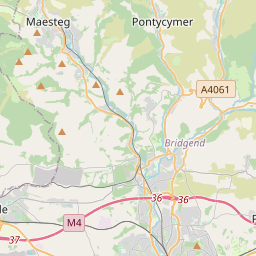


Current traffic around Bridgend (Pen y bont Ar Ogwr)
The following traffic incidents and congestion for Bridgend (Pen y bont Ar Ogwr) have been reported by Highways England, Traffic Scotland, Traffic Wales or Transport for London (TfL) in the last two hours:
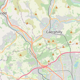
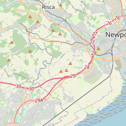
ABERCYNON ROUNDABOUT Description: A470Both directionsAbercynon RoundaboutRoadworksTemporary traffic lights06/01/25-13/06/25 2000-0600Delay: s possible :, Start time: 06/01/2025 20:00 , End Date: 13/06/2025 6:00, Severity: Moderate, Source: Welsh Government, Last updated: 06/01/2025 20:00
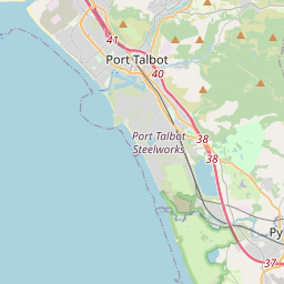
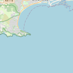
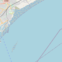
Nearest town: 15.25 miles from Bridgend (Pen y bont Ar Ogwr). CLEARED @ 23:30BRITON FERRY TO A483 JUNCTION Description: A48WestboundBriton Ferry to A483 JunctionCarriageway maintenanceBridge closedDiversions in place13/05/25-17/06/25 2000-0600 :, Start time: 13/05/2025 20:00 , End Date: 17/06/2025 6:00, Severity: Road closure, Source: Welsh Government, Last updated: 13/05/2025 20:00
Nearest town: 13.45 miles from Bridgend (Pen y bont Ar Ogwr). CLEARED @ 23:30
Nearest town: 15.25 miles from Bridgend (Pen y bont Ar Ogwr). CLEARED @ 23:30
Nearest town: 13.45 miles from Bridgend (Pen y bont Ar Ogwr). CLEARED @ 23:30
There are no current incidents in this location.


 National Highways England
 Transport for London (TFL)
 Traffic Wales
 Traffic Scotland
 YOUR AD HERE