
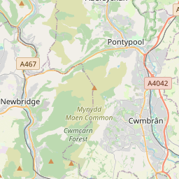


Current traffic around Wattsville
The following traffic incidents and congestion for Wattsville have been reported by Highways England, Traffic Scotland, Traffic Wales or Transport for London (TfL) in the last two hours:
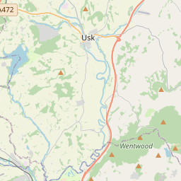
J23A MAGOR TO J26 MALPAS Description: M4WestboundJ23A (Magor) Magor to J26 (Newport) MalpasCongestion :, Start time: 30/05/2025 11:10 , Expected end time: 30/05/2025 19:25, Severity: Moderate, Source: Welsh Government, Last updated: 30/05/2025 11:10
Nearest town: 9.88 miles from Wattsville. CLEARED @ 11:18J24 COLDRA TO J26 MALPAS Description: M4WestboundJ24 (Newport) Coldra to J26 (Newport) MalpasCongestionDelay: s possible :, Start time: 30/05/2025 8:06 , Expected end time: 30/05/2025 9:35, Severity: Moderate, Source: Welsh Government, Last updated: 30/05/2025 8:06
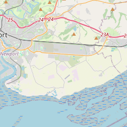
Nearest town: 8.3 miles from Wattsville. CLEARED @ 08:18J26 MALPAS TO J28 TREDEGAR PARK EB ONSLIP Description: M4WestboundJ26 (Newport) Malpas to J28 (Newport) Tredegar Park EB OnslipCongestionDue to IncidentDelay: s possible :, Start time: 30/05/2025 6:49 , Expected end time: 30/05/2025 10:49, Severity: Moderate, Source: Welsh Government, Last updated: 30/05/2025 6:49
Nearest town: 5.6 miles from Wattsville. CLEARED @ 06:54J32 CORYTON Description: M4WestboundJ32 (Cardiff) CorytonIncidentonslipIncident :, Start time: 30/05/2025 6:37 , Expected end time: 30/05/2025 6:55, Severity: Moderate, Source: Welsh Government, Last updated: 30/05/2025 6:37
Nearest town: 7.06 miles from Wattsville. CLEARED @ 06:42J27 HIGH CROSS TO J28 TREDEGAR PARK Description: M4WestboundJ27 (High Cross) High Cross to J28 (Newport) Tredegar ParkIncident AccidentLanes closed :, Start time: 30/05/2025 6:13 , Expected end time: 30/05/2025 10:13, Severity: Moderate, Source: Welsh Government, Last updated: 30/05/2025 6:13
Nearest town: 5.97 miles from Wattsville. CLEARED @ 06:18TUA'R GORLLEWINDisgrifiad: M4Wedi clirioTuar GorllewinC26 Malpas i G28 Ffordd Ymuno Parc Tredegar, Amser y digwyddiad: 30/05/2025 8:05 , Amser gorffen a ragwelir: 30/05/2025 8:10, Difrifoldeb: Cymedrol, Ffynhonnell: Llywodraeth Cymru, Diweddarwyd ddiwethaf: 30/05/2025 8:05
Nearest town: 5.6 miles from Wattsville. CLEARED @ 09:30J28 TREDEGAR PARK TO J26 MALPASDescription: M4EastboundJ28 (Newport) Tredegar Park to J26 (Newport) MalpasCongestionDelay: s possible :, Start time: 30/05/2025 11:09 , Expected end time: 30/05/2025 19:30, Severity: Slight, Source: Welsh Government, Last updated: 30/05/2025 11:09
Nearest town: 5.57 miles from Wattsville. CLEARED @ 11:18
Nearest town: 9.88 miles from Wattsville. CLEARED @ 11:18
Nearest town: 8.3 miles from Wattsville. CLEARED @ 08:18
Nearest town: 5.6 miles from Wattsville. CLEARED @ 06:54
Nearest town: 7.06 miles from Wattsville. CLEARED @ 06:42
Nearest town: 5.97 miles from Wattsville. CLEARED @ 06:18
Nearest town: 5.6 miles from Wattsville. CLEARED @ 09:30
Nearest town: 5.57 miles from Wattsville. CLEARED @ 11:18
There are no current incidents in this location.


 National Highways England
 Transport for London (TFL)
 Traffic Wales
 Traffic Scotland
 YOUR AD HERE