Current Incidents
There are no current incidents in this location.
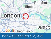 Albert Road junction with Savi Albert Road junction with Saville Road (All Directions): There is a reported building fire at this location. All restrictions have now been lifted. There are no reports of congestion in the area.
Factory Road camera (Streetview):
| PetrolAirportsCar RepairsRadio StationsRail |
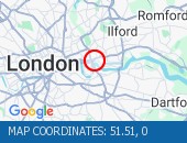 Blackwall Tunnel (Southbound B Blackwall Tunnel (Southbound Bore) (Southbound): the broken down motorcycle in the tunnel has been removed. All congestion resulting from this broken down vehicle has cleared (although tailback remain at the present time - see separate entry).
Blackwall Tunnel (Southbound Bore) camera (Streetview):
| PetrolAirportsCar RepairsRadio StationsRail |
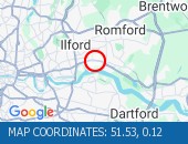 Ripple Road (Eastbound) - Lane Ripple Road (Eastbound) - Lane three (of three) blocked due to a broken down vehicle. The accident has been cleared and lane three has been reopened to traffic. Traffic flows are returning to normal for the time of day.
Ripple Road camera (Streetview):
| PetrolAirportsCar RepairsRadio StationsRail |
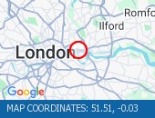 Limehouse Link Tunnel (Westbou Limehouse Link Tunnel (Westbound) Lane one is blocked by a broken down vehicle. The vehicle has now been removed - all lanes are open.
Limehouse Link camera (Streetview):
| PetrolAirportsCar RepairsRadio StationsRail |
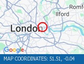 Limehouse Link Tunnel (Both Di Limehouse Link Tunnel (Both Directions) - Closure overnight to facilitate works
 Limehouse Link Tunnel camera (Streetview):
| PetrolAirportsCar RepairsRadio StationsRail |
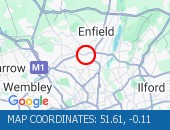 Bowes Road (North Circular Roa Bowes Road (North Circular Road) (All Directions) - The traffic signals are not operating under central computer control at this junction. Traffic signals at this location are now on and working.
North Circular Road camera (Streetview):
| PetrolAirportsCar RepairsRadio StationsRail |
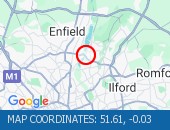 Walthamstow Avenue (North Circ Walthamstow Avenue (North Circular Road) (Eastbound) On approach to the Crooked Billet Roundabout. Partial restriction of the off slip towards the roundabout due to an accident. The collision has been cleared. All lanes are open.
Walthamstow Avenue (North Circular Road) camera (Streetview):
| PetrolAirportsCar RepairsRadio StationsRail |
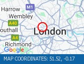 Marylebone Road (Eastbound) l Marylebone Road (Eastbound) lane one closed due to a broken down van. Vehicle has been recovered.
Marylebone Flyover camera (Streetview):
| PetrolAirportsCar RepairsRadio StationsRail |
 Road closed for telecoms work. Road closed for telecoms work. Diversions in operation. The tunnel remains closed. Use an alternative route.
Stainer Street camera (Streetview):
| PetrolAirportsCar RepairsRadio StationsRail |
 A4 Piccadilly (Both Directions A4 Piccadilly (Both Directions) at the junction of Old Bond Street - Lane restrictions in both directions to facilitate building maintenance works. Lane restrictions have been cleared.
Old Bond Street camera (Streetview):
| PetrolAirportsCar RepairsRadio StationsRail |
 Blackfriars Underpass (Westbou Blackfriars Underpass (Westbound) - broken down vehicle removed. Vehicle removed. Traffic is moving well.
Blackfriars Underpass camera (Streetview):
| PetrolAirportsCar RepairsRadio StationsRail |
 City Road (All Directions) at City Road (All Directions) at the junction of Leonard Street - Temporary traffic signals in operation to facilitate road works. No restrictions in place - Traffic light and flowing well
Leonard Street camera (Streetview):
| PetrolAirportsCar RepairsRadio StationsRail |
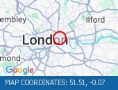 Leman Street (Southbound) at t Leman Street (Southbound) at the junction of Alie Street - lane closure to facilitate new water connection to property by Thames Water. No visible restrictions in place.
Alie Street camera (Streetview):
| PetrolAirportsCar RepairsRadio StationsRail |
 Limehouse Link Tunnel (Eastbou Limehouse Link Tunnel (Eastbound) - lane one blocked due to broken down car. Vehicle has now been recovered. All lanes now reopen. Traffic flowing well.
Limehouse Link Tunnel camera (Streetview):
| PetrolAirportsCar RepairsRadio StationsRail |
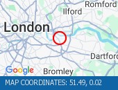 Hardman Road (All Directions) Hardman Road (All Directions) at the junction of Dupree Road - Lane restrictions to facilitate roadworks All restrictions have been removed - Traffic flows have returned to normal
Dupree Road camera (Streetview):
| PetrolAirportsCar RepairsRadio StationsRail |
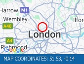 Hampstead Road junction with H Hampstead Road junction with Harrington Square (Southbound): There is a low defective road sign at this location. The sign has now been made safe.
Harrington Square camera (Streetview):
| PetrolAirportsCar RepairsRadio StationsRail |
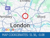 Stoke Newington High Street (B Stoke Newington High Street (Both Directions) at the junction of Stoke Newington Church Street. Traffic lights are working. Traffic signals are on and working. Traffic is moving well.
Stoke Newington Church Street camera (Streetview):
| PetrolAirportsCar RepairsRadio StationsRail |
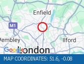 Lordship Lane (All Directions) Lordship Lane (All Directions) at the junction of Bruce Grove - Temporary traffic lights in place due to water works Traffic is flowing well in the area.
Bruce Grove camera (Streetview):
| PetrolAirportsCar RepairsRadio StationsRail |
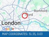 Romford Road (Both Directions) Romford Road (Both Directions) between Upton Lane and Green Street - Romford Road has reopened in both directions Romford Road has reopened in both directions, and vehicles that remain parked at the scene are not causing an obstruction. Traffic is flowing normally.
Westbury Road camera (Streetview):
| PetrolAirportsCar RepairsRadio StationsRail |
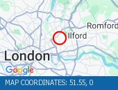 Crownfield Road (All Direction Crownfield Road (All Directions) at the junction of A112 Leyton High Road - Temporary signals in operation due to bus shelter upgrade works. (Sundays Only)
 Crownfield Road camera (Streetview):
| PetrolAirportsCar RepairsRadio StationsRail |
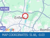 Green Street (All Directions) Green Street (All Directions) at the junction of Jute Lane - The level crossing barriers are now working. Fault now repaired.
Goldsdown Close camera (Streetview):
| PetrolAirportsCar RepairsRadio StationsRail |
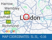 Oxford Street (Eastbound) at t Oxford Street (Eastbound) at the junction of Marble Arch - lane closure to facilitate bus shelter maintenance.
 Marble Arch camera (Streetview):
| PetrolAirportsCar RepairsRadio StationsRail |
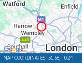 Edgware Road West Hendon Broad Edgware Road West Hendon Broadway junction with Cool Oak Lane (All Directions). There is a reported collision at this location. All lanes are open.
Cool Oak Lane camera (Streetview):
| PetrolAirportsCar RepairsRadio StationsRail |
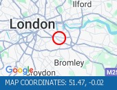 Thurston Road (Both Directions Thurston Road (Both Directions) at the junction of Leathwell Road - The road will be closed overnight to facilitate bridge maintenance works.
 Leathwell Road camera (Streetview):
| PetrolAirportsCar RepairsRadio StationsRail |
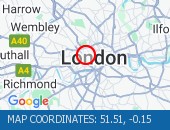 Oxford Street junction with Da Oxford Street junction with Davies Street - Single alternate lane traffic controlled by STOP / GO boards or temporary traffic signals to facilitate works Works take place overnight between 2200-0600hrs. Delays possible between these times.
Oxford Street camera (Streetview):
| PetrolAirportsCar RepairsRadio StationsRail |
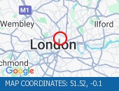 Giltspur Street (All Direction Giltspur Street (All Directions) closed to facilitate an event. No restrictions in place.
Cock Lane camera (Streetview):
| PetrolAirportsCar RepairsRadio StationsRail |
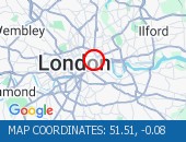 Gracechurch Street (Both Direc Gracechurch Street (Both Directions) at the junction of Lombard Street. Lane one closed to facilitate repairs to a blockage. Traffic is flowing well in the area.
Fenchurch Street camera (Streetview):
| PetrolAirportsCar RepairsRadio StationsRail |
 Charterhouse Street (Both Dire Charterhouse Street (Both Directions) between St John Street and East Poultry Avenue - full closure due to crane operation on weekends only. Drivers are advised to use an alternative route when closures are in place. Road remains open at present.
East Poultry Avenue camera (Streetview):
| PetrolAirportsCar RepairsRadio StationsRail |
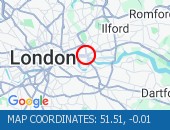 Blackwall Tunnel Northern Appr Blackwall Tunnel Northern Approach (Southbound) at the junction of East India Dock Road - Congestion due cleared. A12 Southbound traffic flows have returned to normal for the time of day.
Blackwall Tunnel Northern Approach camera (Streetview):
| PetrolAirportsCar RepairsRadio StationsRail |
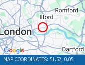 Newham Way (Eastbound) at the Newham Way (Eastbound) at the junction of Noel Road - All lanes now open. All lanes now open.
Viking Gardens camera (Streetview):
| PetrolAirportsCar RepairsRadio StationsRail |
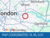 Beresford Street (Both Directi Beresford Street (Both Directions) at the junction of Macbean Street - One lane closed to facilitate the creation of a new road junction for a hotel complex. Lane one (of two) closure in place. Traffic is moving well on approach.
Macbean Street camera (Streetview):
| PetrolAirportsCar RepairsRadio StationsRail |
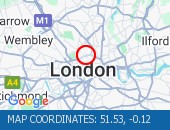 Euston Road (Westbound) at the Euston Road (Westbound) at the junction of Argyle Street - Lane one closed overnight to facilitate subway works.
 Argyle Street camera (Streetview):
| PetrolAirportsCar RepairsRadio StationsRail |
 Euston Road (Eastbound) at the Euston Road (Eastbound) at the junction of Crestfield Street - Lane one closed overnight outside Kings Cross station to facilitate pavement works.
 Crestfield Street camera (Streetview):
| PetrolAirportsCar RepairsRadio StationsRail |
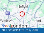 Lordship Lane (All Directions) Lordship Lane (All Directions) at the junction of The Roundway - Collision - Lordship Lane is blocked eastbound -Slow moving traffic on approach All roads have reopened. Traffic is flowing well.
The Roundway camera (Streetview):
| PetrolAirportsCar RepairsRadio StationsRail |
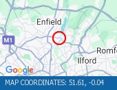 Angel Road (North Circular Roa Angel Road (North Circular Road) (All Directions) at the junction of the Cooks Ferry Flyover - The A406 has been fully reopened eastbound with one lane reopened in the westbound carriageway. All lanes open with traffic flowing well.
Angel Road (North Circular Road) camera (Streetview):
| PetrolAirportsCar RepairsRadio StationsRail |
There are no current incidents in this location.
 Highways Agency
Official source of traffic updates for the and national area.
 The AA
AA road and motorway traffic news and route planner.
 Traffic Cymru
The Welsh government's traffic information service for Wales.
 Traffic Scotland
Live traffic conditions and news for Scotland's road network.
 YOUR AD HERE
Advertise to millions of motorists, holidaymakers and commuters.

Except where otherwise noted, content and photographs on this site are licensed under a Creative Commons Attribution 3.0 License.
Owned, operated and copyright CliqTo Ltd 2024 and Chris Haycock. Registered company number 7575287.
Radio Jingle by Oleg Fedak from Pixabay D&B Business Listing